A Google Maps QR code should usually point to the place link, use coordinates when the address fails, and be printed at least 3 inches (7.6 cm) wide for a sidewalk sign.
Google Maps can give you more than one link for the same place, and they do different jobs. That is the real choice here. If you print the wrong one, people might land on a pin when you wanted turn-by-turn directions, or start navigation when you only meant to show the location.
For most printed pieces, Google Maps works fine. Its weak spot is that the app offers short, shared links, and those are the most fragile choice for print because you cannot tell what is inside them at a glance, and changing platforms can make them harder to trust later.
Which Google Maps link should you use?#
A Google Maps place link is best when you want people to open your business, venue, or pickup spot and choose what to do next. A directions link is best when the only job is “take me there now.” Coordinates are best when the address is messy, rural, new, or often wrong.
Use the link based on the scan's job, not based on which one Google shows first.
- Place link: Opens the place pin, photos, hours, reviews, and buttons like Call, Save, or Directions.
- Directions link: Starts route guidance from wherever the person is standing.
- Coordinates link: Opens a precise spot by latitude and longitude, which helps for trailheads, event fields, new buildings, or rear entrances.
A place link is the safe default for a storefront, office, clinic, booth, or venue entrance. It gives the visitor context before they start moving.
A directions link is better on parking passes, windshield cards, event confirmations, or roadside signs. If a person scans while already walking or driving, starting navigation right away is the point.
Coordinates matter more than people expect. If your address sends visitors to the wrong gate, the middle of a large campus, or a nearby road, coordinates can save a lot of phone calls.
If you need the code itself, not just the map link, a QR code for location page is the right next step.
How do you get the right link from Google Maps?#
Google Maps gives you the link from Share, then Copy link. For a place, open the listing first. For directions, build the route first, then copy that shared link instead.
Here is the clean way to do it.
For a place link#
- Search for the place in Google Maps.
- Open the full place listing.
- Tap or click Share.
- Choose Copy link.
- Paste it somewhere so you can check what it is before making the code.
For a directions link#
- Open the place in Google Maps.
- Tap or click Directions.
- Leave the starting point blank if you want the scanner's current location used later.
- Tap Share.
- Choose Copy link.
For coordinates#
- Drop a pin on the exact spot, or find the latitude and longitude.
- Open that pin in Google Maps.
- Use Share and Copy link if Maps offers it.
- If needed, use a maps URL that contains the coordinates clearly.
Short links from Google Maps often look tidy, but they are the weakest print choice. A fuller link is easier to inspect, easier to document, and less mysterious if you come back to it six months later.
That matters even more if this sign may change. Your first dynamic code is free in QRFLOW.codes, so you can keep the printed square and change the destination later if you move entrances, fix a bad pin, or switch from a place page to directions.
Why are shortened Google Maps links a bad print habit?#
Short Google Maps links work, but they hide what the destination really is. For print, that makes checking, documenting, and replacing the link harder than it needs to be.
The problem is not that every shortened link breaks. The problem is that a printed sign can stay up for years, and shortened links give you less control and less clarity.
A few reasons to avoid them when you can:
- You cannot tell by looking whether the link goes to a place page or live directions.
- Team members cannot easily spot mistakes before printing.
- If you ever rebuild the code elsewhere, the shortened link tells you less about what the original was meant to do.
- Some people are more cautious with shortened links because their destination is hidden.
If you are printing 1 sign, this is a mild annoyance. If you are printing 50 table cards, posters, or handouts, it becomes a real maintenance problem.
This is also where static versus dynamic codes matters. A static code bakes in the exact map link forever. A dynamic code lets you swap the destination later, which is handy when a venue entrance changes after the posters are already out. If you need every code to be dynamic, that starts on Premium at $4 a month. If you want the deeper tradeoff, see static vs dynamic QR code.
How big should a Google Maps QR code be on a sign?#
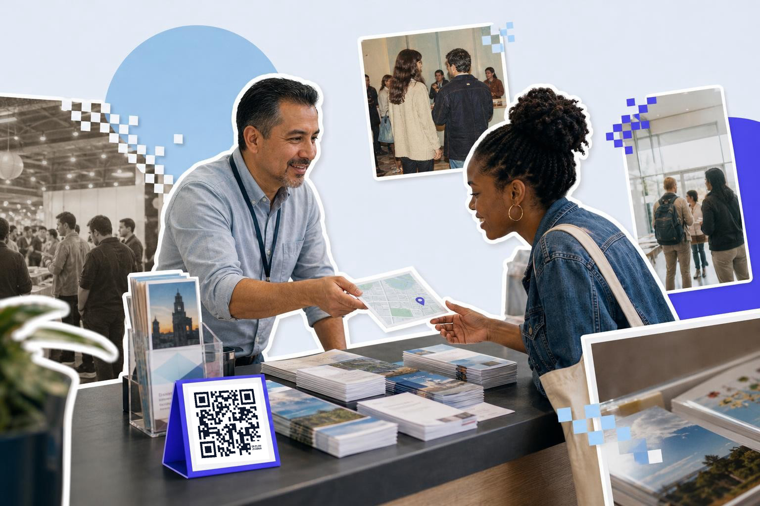
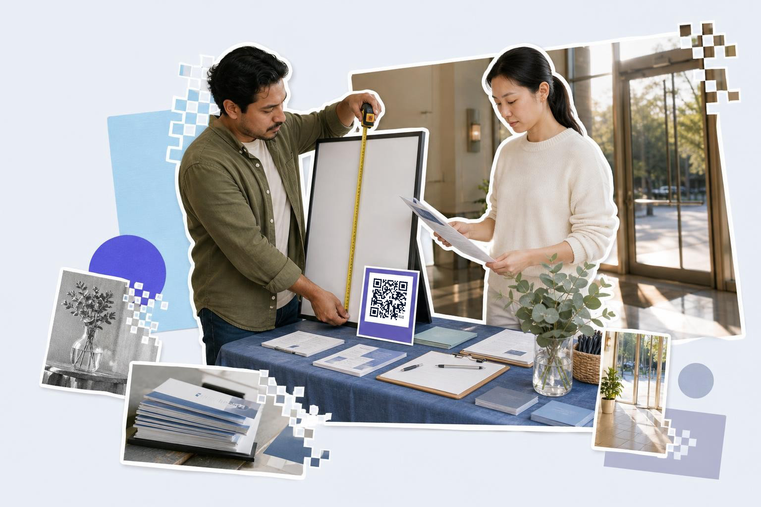
Big enough for where people stand. A code read from the sidewalk wants 3 to 4 inches (7.6 to 10 cm), because people scan it from 3 to 6 feet (1 to 2 m) away. One handed over on a card is fine at 1 inch (2.5 cm).
Our guide on how big to print a QR code has the rest of the sizes.
If the same sign also carries a phone number, a QR code to call or text covers which of the two to print.
Put one short line above it so the scan has a job: Open in Google Maps, or Get directions. A map QR code with no label gets ignored on a busy sign.
What does the scanner see on iPhone vs Android?#
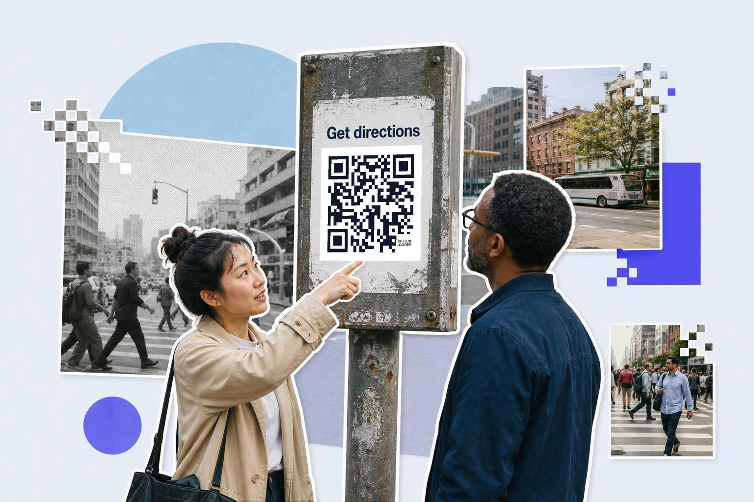
A Google Maps link usually opens as a normal link preview first, then hands off to the right app if the phone has it. On both iPhone and Android, the exact result depends on the link type, installed apps, and default browser settings.
Here is the practical version.
On iPhone, scanning with the Camera app usually shows a banner or link card. Tapping it may open Apple Maps, Google Maps, Safari, or a chooser step, depending on the link and what apps are installed. A plain place page link may open in the browser first, then offer Google Maps.
On Android, scanning often opens directly into Chrome or Google Maps faster, especially on phones already signed into Google. Directions links tend to feel more direct on Android because Google Maps is often the default map app.
The biggest difference is not iPhone versus Android. It is place link versus directions link. A directions URL feels more immediate because it pushes toward navigation. A place link feels more like a listing, which is often better for printed materials people scan before they decide what to do.
If you are comparing tools, there is also a newer option: you can ask Claude, ChatGPT, or Claude Code to make the code for you in plain words once connected, which is genuinely useful when you are already working there.
A better way to think about this before you print#
A Google Maps code is not one thing. It is a choice between opening a place, starting a route, or marking an exact point.
Pick the link for the job, avoid the hidden short link when you can, and print it big enough for where people will stand. Then make the code. If you want to do that now, start with QRFLOW.codes or compare editable features like analytics and unlimited dynamic codes on the pricing page.